Bengaluru Launches Urban Growth Blueprint with Drone Survey, Transit Development Plan
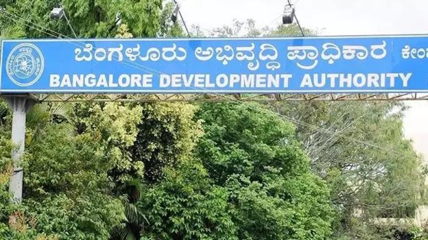
The Bangalore Development Authority (BDA) has announced a global tender to prepare the Revised Master Plan-2041 (RMP-2041), a blueprint aimed at shaping Bengaluru’s urban growth for the next two decades.
This move follows the shelving of the RMP-2031, which was criticized for lacking scientific validation, inadequate stakeholder consultation, and failure to address the city’s unregulated expansion. Interested bidders have until September 30 to submit proposals.
Officials stated that RMP-2041 will serve as a comprehensive framework to manage Bengaluru’s swelling population, rising vehicular congestion, and sprawling urbanization. To support the planning process, a high-tech 3D drone survey is underway, covering 1,240 sq km — including 800 sq km under BBMP limits and 440 sq km under BDA’s jurisdiction. The survey will generate critical planning tools such as base maps, land-use maps, ortho-rectified images, and digital elevation models.
Significantly, the upcoming plan will incorporate transit-oriented development (TOD), a modern urban model designed to promote walkable, mixed-use communities around efficient public transport systems. The BDA expects this to ease traffic pressure and improve livability.
Town planning member L. Shashikumar said the new plan will integrate agricultural, residential, commercial, and revenue land assessments with features such as green zones, expanded road networks, and transit-oriented policies. Once the draft is prepared, it will be published in the gazette for public feedback, with 60 days allocated for objections and suggestions. The BDA aims to finalize and publish the RMP-2041 by mid-2026, assuring complete transparency and accountability throughout the process.

